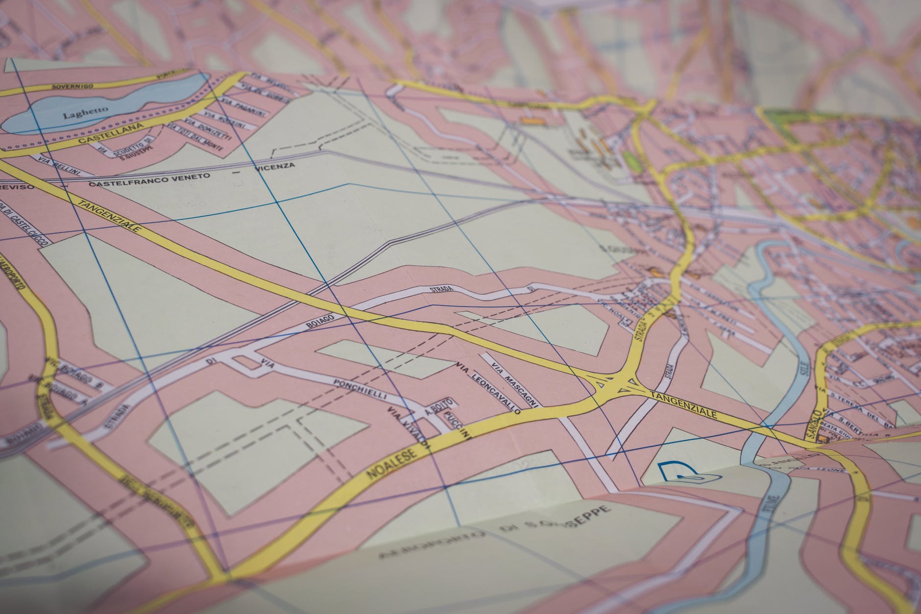
Wayfinding and maps go hand-in-hand. Wayfinding is used primarily as the solution to spatial problems, which is where maps often come into play. It’s such a crucial part of today’s society, yet it is often overlooked. So, if you’re looking for a more detailed insight into the world of wayfinding, you can find all of the answers you’re looking for here.
History of Maps
Maps have been an integral part of world history and regular usage is said to date back to around 16,500 B.C. However, while the first maps were very simple and lacked a degree of accuracy, they set the ball rolling for great cartographers to come.The world of cartography began to boom in mid 16th century, and this movement is thought to have been primarily led by Gerardus Mercator. This belgian cartographer created the first mathematically accurate world map of his time. Maps have always been intended to aid the traveler, but were primarily used by those going on long treks. Whereas now, they are commonly used to ease everyday journeys of pedestrians, cyclists, drivers and essentially anyone with a place to be. Without maps, life would be a guessing game and undoubtedly more difficult.
The Map is the Key
The map is the centre of the wayfinding system and everything is referenced from this point. Without maps, there would be no structure or fluidity to any wayfinding systems. All destinations, attractions, points of interests and idealistic user routes, stem from the map of the area. Maps are essential to such a wide variety of environments which is why understanding their importance is is so crucial. If a hospital was to overlook the necessity of maps in their facility, the consequences would be catastrophic. Similarly, if maps in schools are not comprehensible for the children, the result will be very confused kids and unhappy parents.
Adaptable Maps
One the best parts of maps and one that has a massive impact on maps in wayfinding is their ability to adapt. Maps are adaptable to where they are being viewed from. For example, when looking at a stationary map in a shopping centre or park, you’ll most likely see something indication your location, ‘You are here!’. Maps can also have different content laid onto them depending on the needs of the user.
Design of the Map
Maps for different areas will require different looks and feels. For example, one that is designed for an amusement park is going to have a completely different tone and appearance to that of a hospital. Initially, one may not think there is much room for creativity in maps. However, each one is specialised and considers all aspects around the area.
It’s simple, without maps a fully functional wayfinding system wouldn’t be possible.